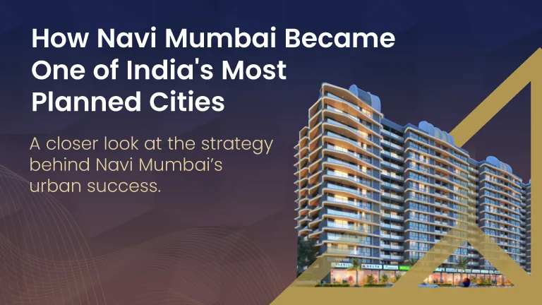
How Navi Mumbai Became One of India’s Most Planned Cities
The transformation of regions into meticulously organized urban centers is a complex process requiring foresight, strategic planning, and concerted effort. Navi Mumbai stands as a prime example of such an endeavor in India, envisioned and developed to alleviate the pressures on Mumbai, the nation’s financial capital. Its journey from marshlands and salt pans to a bustling, well-structured metropolis is a testament to large-scale urban planning, demonstrating how thoughtful infrastructure development and zoning can shape a city’s growth trajectory. This evolution involved multiple stakeholders, significant architectural and engineering challenges, and a commitment to creating a sustainable and livable urban environment.
The Genesis of a Grand Vision: Alleviating Mumbai’s Strain
By the mid-20th century, Mumbai, then Bombay, was experiencing rapid population growth and urban sprawl, leading to significant congestion, infrastructure strain, and a decline in living conditions for many residents. The island city’s geographical constraints meant that horizontal expansion was limited, pushing development upwards and making real estate increasingly prohibitive. This situation prompted urban planners and government officials to seek innovative solutions to de-congest the existing metropolis and provide a viable alternative for future growth.
The idea of a twin city emerged as a promising solution. This new urban center would not merely be an extension but a self-sufficient entity, equipped with its own commercial hubs, residential zones, educational institutions, and healthcare facilities. The objective was to create a city that could attract businesses and residents alike, thereby reducing the migratory pressure on Mumbai and offering a better quality of life. The chosen location, across the Thane Creek, offered a large expanse of land suitable for planned development, a critical factor given the ambitious scale of the project. This strategic geographical positioning also allowed for eventual seamless connectivity with Mumbai, ensuring that the new city would remain integrated with the economic heartbeat of the region.
CIDCO’s Pivotal Role in Shaping Navi Mumbai
The City and Industrial Development Corporation (CIDCO) was established in 1970 with the specific mandate to create and develop Navi Mumbai. This government agency became the primary planning and development authority, tasked with translating the grand vision into actionable plans and tangible structures. CIDCO’s role was comprehensive, covering everything from land acquisition and master planning to infrastructure development and urban governance in the initial stages. The task was monumental, involving the transformation of vast tracts of undeveloped land, much of it tidal marsh and agricultural plots, into a modern urban landscape. They faced challenges such as land reclamation, ensuring proper drainage, and designing a robust transport network from scratch.
CIDCO’s planning philosophy centered on creating self-sufficient nodes, each designed to function as a mini-city with its own commercial centers, residential complexes, and amenities. This decentralized approach was intended to prevent the kind of over-centralization that had plagued Mumbai. It aimed to minimize daily commuting distances for residents and foster a sense of community within each node. This foundational work by CIDCO is why Navi Mumbai is often cited as India’s most planned city, a direct result of meticulous foresight and systematic execution. The agency also laid down strict development control regulations, ensuring organized growth and preventing haphazard construction, which further contributed to the city’s structured appearance. Their early efforts focused on establishing core utilities like water supply, sewerage systems, and power distribution networks, which are crucial for any new urban development. The emphasis on green spaces, wide roads, and integrated public transport systems reflected a forward-thinking approach to urban living.
The Architectural Blueprint: Nodes and Grids
Navi Mumbai’s distinctive character stems from its modular design, organized into a series of interconnected nodes. Each node, such as Vashi, Nerul, Kharghar, and Airoli, was conceived as an independent township, equipped with its own distinct identity and a full spectrum of urban services. This architectural blueprint was not merely aesthetic; it was a functional design intended to distribute population density and economic activity evenly across the city. The nodes are linked by broad arterial roads and a robust public transport network, facilitating efficient movement between them.
Within each node, a grid-like street pattern was often employed, which is characteristic of planned cities globally. This layout simplifies navigation, optimizes traffic flow, and provides for systematic allocation of land for various purposes, including residential, commercial, industrial, and recreational uses. The integration of open spaces, parks, and recreational facilities within these nodes was also a core component of the planning, ensuring a balanced urban environment. This careful demarcation ensured that residents had access to essential services and green areas, contributing to a higher quality of life. The planning also accounted for future expansion, leaving room for a natural progression of development within and between these nodes. For instance, the systematic development of flats in Nerul and other areas showcases the consistent application of these planning principles.

Infrastructure: The Backbone of a Modern City
The comprehensive development of Navi Mumbai relied heavily on a robust infrastructure network. From the outset, the planning prioritized efficient transport links, clean water supply, reliable power, and effective waste management. A key element of this was the extensive road network, designed to handle future traffic volumes and connect the various nodes seamlessly. The Palm Beach Road, for example, is a prime illustration of this forward-thinking infrastructure, offering swift connectivity and enhancing the aesthetic appeal of the city’s coastal stretch.
Public transportation received significant attention. The suburban railway network, extending from CST (Chhatrapati Shivaji Maharaj Terminus) into Navi Mumbai, was crucial for integrating the new city with Mumbai’s lifeline. This network has been continuously expanded and upgraded to serve the growing population. Beyond railways, an organized bus network provides intra-node and inter-node connectivity, reducing reliance on private vehicles.
Furthermore, utilities like water treatment plants, sewage treatment facilities, and underground cabling for electricity and telecommunications were incorporated into the initial planning stages, rather than being retrofitted later as is often the case in organically grown cities. This proactive approach ensured that Navi Mumbai had a sturdy foundation for sustainable growth. The ongoing infrastructure projects underway continue to build upon this strong base, further enhancing connectivity and urban amenities. Projects like the Navi Mumbai International Airport and the Mumbai Trans Harbour Sea Link are set to elevate the city’s connectivity and economic prominence on a regional and national scale.
Economic Corridors and Growth Drivers
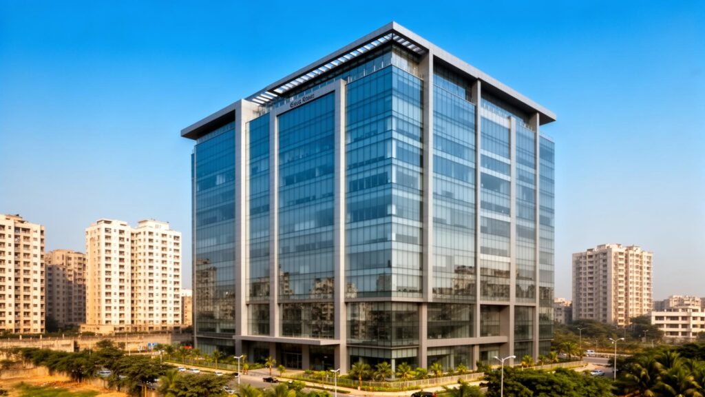
Navi Mumbai was not just envisioned as a residential overflow for Mumbai but as a significant economic hub in its own right. The development plan included dedicated zones for industrial estates, IT parks, and commercial business districts. This diversified economic strategy aimed to create local employment opportunities, making the city self-sufficient and reducing the need for residents to commute to Mumbai for work. Areas like Mahape, Ghansoli, and Airoli quickly emerged as prominent IT and industrial corridors, attracting major corporations and fostering a vibrant job market.
The presence of the Jawaharlal Nehru Port Trust (JNPT), one of India’s largest container ports, in Navi Mumbai, has also been a powerful economic driver. Its strategic location facilitates trade and logistics, leading to the growth of warehousing, shipping, and related industries in the region. This port connectivity has transformed Navi Mumbai into a crucial node in India’s economic landscape, attracting businesses that benefit from efficient import and export channels.
Education and healthcare facilities were also part of the economic growth strategy. By establishing prominent educational institutions and multi-specialty hospitals, Navi Mumbai aimed to attract families and professionals, ensuring a comprehensive ecosystem for its residents. This careful integration of economic and social infrastructure has played a vital role in the city’s sustained growth and its appeal as a place to live and work. The city’s planned industrial zones and emerging commercial centers continue to draw significant investment, contributing to a dynamic economic environment.
Social Infrastructure and Lifestyle
Beyond physical infrastructure and economic opportunities, the planning of Navi Mumbai also focused on cultivating a high quality of life for its residents. This involved the strategic placement of social infrastructure, including educational institutions, healthcare facilities, and recreational spaces. Numerous schools and colleges were established across various nodes, providing accessible and quality education. Similarly, modern hospitals and clinics were integrated into the urban fabric, ensuring comprehensive healthcare services.
One of the defining features of Navi Mumbai’s planning is its emphasis on open spaces, parks, and recreational areas. Large green belts, promenades, and sports complexes were incorporated into the city’s design, offering residents ample opportunities for leisure and well-being. This focus on green living contributes to a healthier urban environment and provides a counterbalance to the urban bustle. The presence of well-maintained public parks, like those found in sectors across various nodes, is a testament to this planning philosophy.
Cultural centers, shopping malls, and entertainment venues also contribute to the vibrant lifestyle of Navi Mumbai. These amenities cater to diverse interests and age groups, fostering a sense of community and providing residents with a fulfilling urban experience. The overall urban design, with its wide roads, planned neighborhoods, and integrated facilities, often leads to a more serene and less chaotic living environment compared to many other Indian cities. The availability of diverse properties in Navi Mumbai, from apartments to independent houses, caters to a wide spectrum of preferences and budgets, reflecting the city’s broad appeal. For example, individuals looking for quality living spaces often explore residential projects in Navi Mumbai that align with these well-thought-out planning principles.
Kharghar: A Case Study in Planned Urban Development
Kharghar stands out as a prime example of Navi Mumbai’s meticulous planning and development. Conceived as one of the largest nodes, Kharghar was designed with a focus on education, healthcare, and residential living amidst abundant green spaces. Its strategic location at the foothills of the scenic Sahyadri Mountains adds to its appeal, offering a blend of urban amenities and natural beauty. The node benefits from wide, tree-lined avenues, well-laid-out sectors, and a comprehensive network of public utilities.
The planning of Kharghar included clear zoning regulations for residential, commercial, and institutional areas, ensuring a balanced ecosystem. It hosts prominent educational institutions, making it an educational hub. The Central Park, one of the largest urban parks in Asia, is a centerpiece of Kharghar, providing residents with extensive recreational facilities. The presence of a golf course and various sports complexes further enhances its livability. The development of infrastructure, including connectivity to major highways and the suburban railway, has made Kharghar an increasingly attractive destination for residents and businesses alike. The availability of flats in Kharghar reflects the high demand for well-planned urban living, showcasing why Kharghar is a planned node and a preferred choice for many. This node exemplifies the success of CIDCO’s vision for creating self-sufficient and high-quality urban environments.
Future Prospects and Ongoing Development
Navi Mumbai continues to evolve, with several significant projects poised to further enhance its stature as a modern metropolis. The Navi Mumbai International Airport (NMIA) is arguably the most transformative project, set to significantly boost the region’s connectivity, economic activity, and global standing. This greenfield airport is designed to handle immense passenger and cargo traffic, attracting new businesses and investments.
The Mumbai Trans Harbour Sea Link (MTHL), also known as Atal Setu, is another monumental infrastructure project that has dramatically improved connectivity between South Mumbai and Navi Mumbai. This sea link reduces travel time significantly, further integrating the two cities and facilitating smoother movement of goods and people. These large-scale projects, along with ongoing improvements in public transport, road networks, and civic amenities, underscore the continuous commitment to Navi Mumbai’s planned development.
Moreover, the focus on sustainable urbanism and smart city initiatives is guiding future growth. This includes integrating technology for efficient urban management, promoting green building practices, and developing eco-friendly transport solutions. Projects like Aveon City in Airoli and Delta Palm Beach in Nerul represent the modern residential offerings that align with the city’s forward-looking vision, integrating contemporary design with the well-established urban plan. The cumulative effect of these developments is to solidify Navi Mumbai’s reputation as a progressive, well-organized city with a bright future.
Key Takeaways
- Navi Mumbai was conceived to de-congest Mumbai and provide a planned alternative for urban growth.
- CIDCO was instrumental in the meticulous master planning and development of the entire city from its inception.
- The city’s design is based on a modular system of self-sufficient nodes, each with its own amenities and economic drivers.
- Robust infrastructure, including extensive road networks, suburban railways, and advanced utility systems, formed the backbone of its development.
- Economic diversification, with dedicated zones for IT, industry, and logistics, has fostered significant local employment.
- Emphasis on social infrastructure, green spaces, and a balanced lifestyle contributes to a high quality of urban living.
- Ongoing large-scale projects like the Navi Mumbai International Airport and the Mumbai Trans Harbour Sea Link are set to further enhance its prominence.
- Navi Mumbai serves as a successful model of planned urban development in India, demonstrating long-term vision and systematic execution.
Frequently Asked Questions
Quick answers to common questions on this topic.
The primary motivation for developing Navi Mumbai was to alleviate the severe population pressure, congestion, and infrastructure strain on Mumbai, which had limited geographical scope for further expansion. It was envisioned as a parallel, self-sufficient urban center.
CIDCO, the City and Industrial Development Corporation, was established in 1970. Its core responsibility was the master planning, land acquisition, infrastructure development, and overall creation and governance of Navi Mumbai.
Navi Mumbai is structured into a series of independently planned and self-sufficient nodes, such as Vashi, Nerul, and Kharghar. Each node functions as a mini-city with its own residential, commercial, and social infrastructure. Key features include wide roads, extensive green spaces, and a comprehensive public transport network.
Significant infrastructure projects include the Navi Mumbai International Airport (NMIA), which is under development, and the recently completed Mumbai Trans Harbour Sea Link (MTHL), also known as Atal Setu. These projects aim to enhance connectivity and economic growth.
Navi Mumbai contributes significantly to the regional economy through its role as an economic hub, hosting IT parks, industrial zones, and commercial business districts. The presence of JNPT (Jawaharlal Nehru Port Trust) also positions it as a major logistics and trade center.
Navi Mumbai offers a planned and balanced urban lifestyle with well-developed social infrastructure including educational institutions, healthcare facilities, and numerous recreational spaces. Its wide roads, green areas, and self-contained nodes aim to provide a higher quality of life.